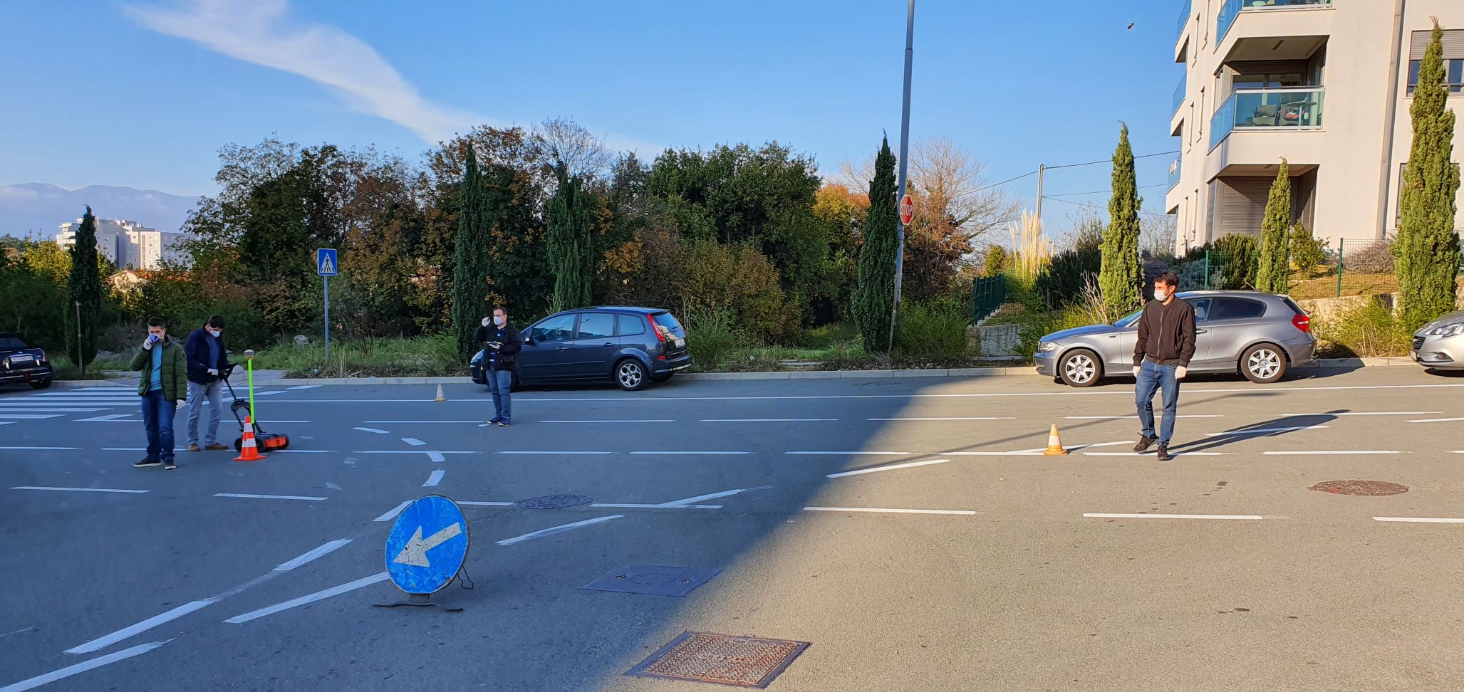
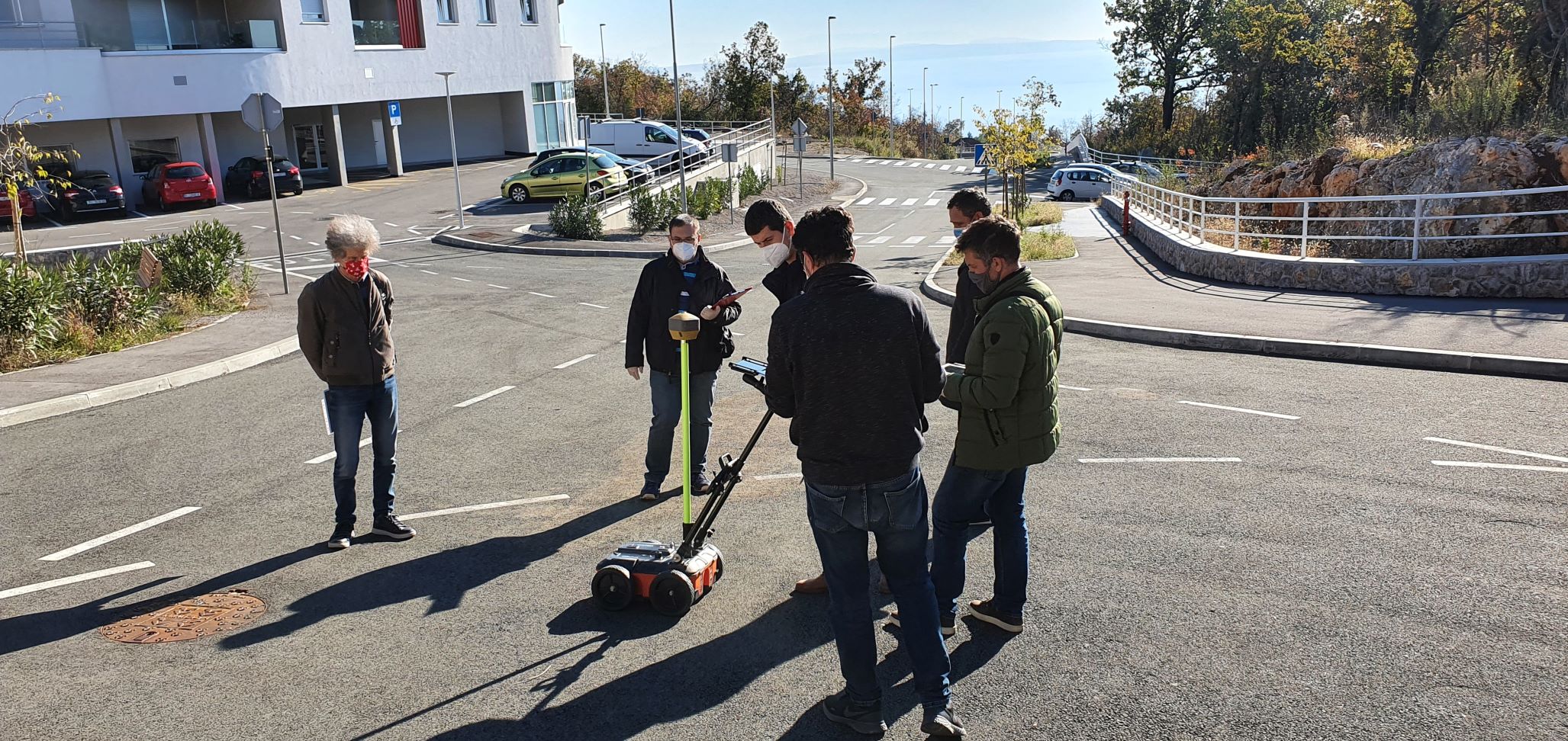
Several surveyings of the underground infrastructure were held at various locations in Rijeka, as part of the project activity for the system development for automatic processing and recognition of the underground infrastructure based on radar records, as part of the Smart City 4DII project. The members of the project teams′ partners became acquainted with the peculiarities of the radar records through the performed surveying and internal workshops. For this purpose, at several locations on Martinkovac, the University campus, and in the Rijeka city center, the experimental samples of radar records using GeoRadar (GPR or Ground Penetrating Radar) were collected, a device based on the radar technology principle in which the antenna sends and receives the electromagnetic waves. Since its use does not require excavation of the soil to reach the underground infrastructure, GPR presents a non-destructive method. Considering that the surveying was meant to be in a 3D format, and in a desire to ensure the necessary data redundancy, the selected terrains were surveyed with a set of longitudinal and transverse profiles. In addition, the collected experimental samples contained different types of infrastructure (water supply, sewerage, gas…), located in equally different soil types.
After the surveying, the project teams′ members became acquainted with the peculiarities of the radar records and learned how to distinguish the object, in this case the underground infrastructure, from the background. The data obtained by surveying will serve as input data for the development of the AI algorithm and its learning. To facilitate the infrastructure identification process, a pre-processing will be done by using digital filters in order to remove the background noise. Subsequently, an evaluation of the existing design-based algorithms will be carried out on the basis of the images obtained, in order to select the one that will most accurately be able to interpret the underground infrastructure radar records. After the final selection of one or more algorithms, the possibility of their further improvement will be considered, in order to increase their efficiency. When choosing, preference will be given to algorithms that have the ability to learn (Deep Learning) over those that have only ability to recognize (Computer Vision). Furthermore, along with evaluating the efficiency of the existing algorithms and their possible improvement, the possibility of developing a completely new, more advanced algorithm for recognizing underground infrastructure will be explored.
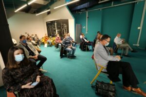
The completed activities are the beginning of the development of ICT solutions that will enable faster processing of the communal utility infrastructure data, which are the basis of the utility infrastructure management. The partners in charge of the site selection and collection of radar records are Ericsson Nikola Tesla Lrd., KD Vodovod and Kanalizacija Ltd. (Water Supply and Sanitation Company), and Energo Ltd. The analysis of radar records and further research will be conducted by the University of Rijeka and Ericsson Nikola Tesla.
This project activity is part of the 4DII research and development project, which aims to efficiently record and manage underground and aboveground utility infrastructure, in order to reduce costs, increase efficiency, attract investment, and provide better service. The new services and products that would be obtained through the research within Smart City 4DII are intended for all owners and managers of the infrastructure, as well as state administration bodies in charge of collecting, recording, and managing one or more types of infrastructure. The need for such services and solutions is of a global character because the infrastructure exists in all countries around the world.